Wind speed and direction can be derived from this backscatter signal.
Since several decades scatterometer wind measurements over sea are available and these winds are more and more often used in climate studies, addressing air-sea interaction, tropical dynamics and moist convective processes, among others. Moreover, long-term wind Essential Climate Variable (ECV) Data Records (CDR) are useful to obtain estimates of the accuracy of re-analyses obtained with General Circulation Models (GCM) in representing, for example, extreme events. Several wind data sets of past and current missions are being reprocessed in order to create homogeneous wind ECV CDRs.
The scatterometer wind data records are compared to model winds from the ECMWF ERA-Interim reanalysis, which are used by many downstream CDR users. The project focusses on how to compare and calibrate winds measured by different instruments and GCMs.
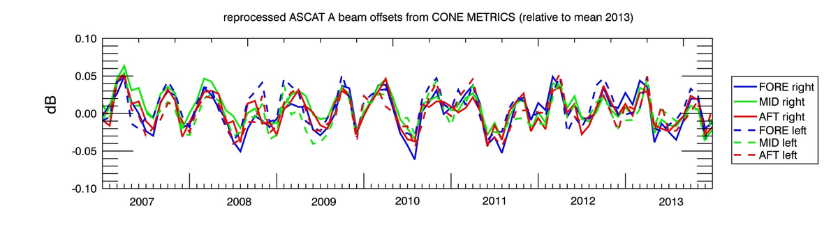
Several scatterometer CDRs are available, e.g. 10 years (1999-2009) of winds from the SeaWinds scatterometer (on board the US polar orbiting QuikSCAT satellite) and the ASCAT (Advanced Scatterometer) winds from the polar orbiting European Metop-A satellite, available since 2007. The ASCAT coastal product has enhanced resolution and provides wind information on a 12.5 km grid spacing[1]. The winds are produced in the scope of the EUMETSAT OSI SAF (Ocean and Sea Ice Satellite Application Facility).
Validation Reports and Product User Manuals are available for all data sets. For an overview of the currently available data, please see https://scatterometer.knmi.nl/archived_prod/. For a general overview of scatterometer activities at KNMI, see https://scatterometer.knmi.nl/.
Scatterometer winds are used operationally and have undergone extensive calibration and validation against measurements made by buoys and model winds using advanced methods. Moreover, they are routinely monitored for quality assurance[2]. KNMI has produced near-real time scatterometer ocean vector winds for almost 20 years now (near-real time means that winds are computed and distributed as soon as the raw satellite data are received). These data sets are not always homogeneous, because wind retrieval algorithms have been continuously improved over the years and the creation of homogeneous wind ECV CDRs is thus eminent.
L3 (regridded) data for this project is also availabe through the CMEMS project website: http://marine.copernicus.eu/ (search for wind in the online catalogue). The L3 reprocessing product now contains data from 1992 upto 2016, including ERS1, ERS2, Quikscat, ASCAT-A and ASCAT-B winds. In addition wind stress and stress equivalent model wind, as well as curl and divergence for both wind and wind stress is provided in these data sets.
Reference: A. Verhoef, J. Vogelzang, J. Verspeek and A. Stoffelen, Long-term Scatterometer Wind Climate Data Records, accepted for publication in IEEE Journal of Selected Topics in Applied Earth Observations and Remote Sensing, doi: 10.1109/JSTARS.2016.2615873.
[1] https://scatterometer.knmi.nl/ascat_osi_co_prod/
[2] https://scatterometer.knmi.nl/ascat_osi_co_prod/ and http://nwpsaf.eu/site/monitoring/winds-quality-evaluation/scatterometer-mon/

A. Verhoef, J. Vogelzang, J. Verspeek and A. Stoffelen, Long-term Scatterometer Wind Climate Data Records, accepted for publication in IEEE Journal of Selected Topics in Applied Earth Observations and Remote Sensing, doi: 10.1109/JSTARS.2016.2615873.