Atmospheric data access for the geospatial user community
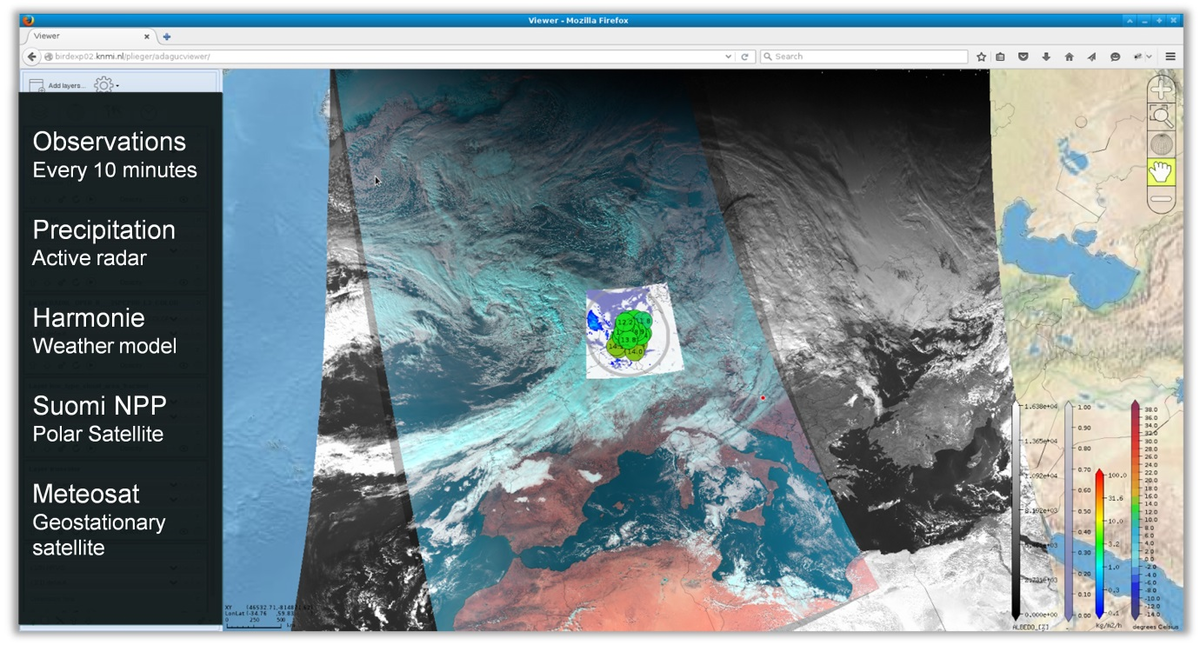
ADAGUC is an Open Source geographical information system to visualize netCDF, HDF5 and GeoJSON over the web. The software consists of a server side C++ application and a client side JavaScript application. The software provides several features to access and visualize data over the web, and uses the OGC WMS and WCS standards for data dissemination. Web clients like GoogleMaps, OpenLayers and Leaflet are supported and can directly use the exposed webservices. ADAGUC is used in projects like climate4impact to visualize datasets stored in ESGF (Earth System Grid Federation).
ADAGUC can visualize remotely published NetCDF files by adding the OpenDAP resource as parameter to the webservice request. This enables direct visualization of any OpenDAP enabled resource over the web. Graphic styling of data is done by checking the variable standard_name and units. OGC Web Coverage Services (WCS) are available and can be used for data re-projection, subsetting and conversion to other formats. Access to OpenDAP services is done efficiently; multiple requests are aggregated into one, and only the domain of interest is requested. This allows for easy, quick and interactive visualization of OpenDAP enabled datasets.
ADAGUC has a number of data converters and data post processors to support various data conventions. Supported file formats are “true color netCDF” for satellite imagery, structured grids, curvilinear grids, satellite swaths, point observations, point timeseries and polygons stored in GeoJSON. Datasets consisting of several netCDF files can be aggregated into a single dataset and are offered over WMS, WCS and OpenDAP. ADAGUC can be used as a component for Web Processing Services to subset data and convert GeoJSON to grids.